kufreu.github.io
repository for geography work and other things completed by kufre u.
saga
hydrology analysis of kilimanjaro
SAGA 6.2 was used in this project to derive channel networks and other terrain products from global elevation models obtained from NASA’s Shuttle Radar Topography Mission. Shown below are the steps taken to process the data. Zip files with tool outputs can also be found on this page.
opening data in saga
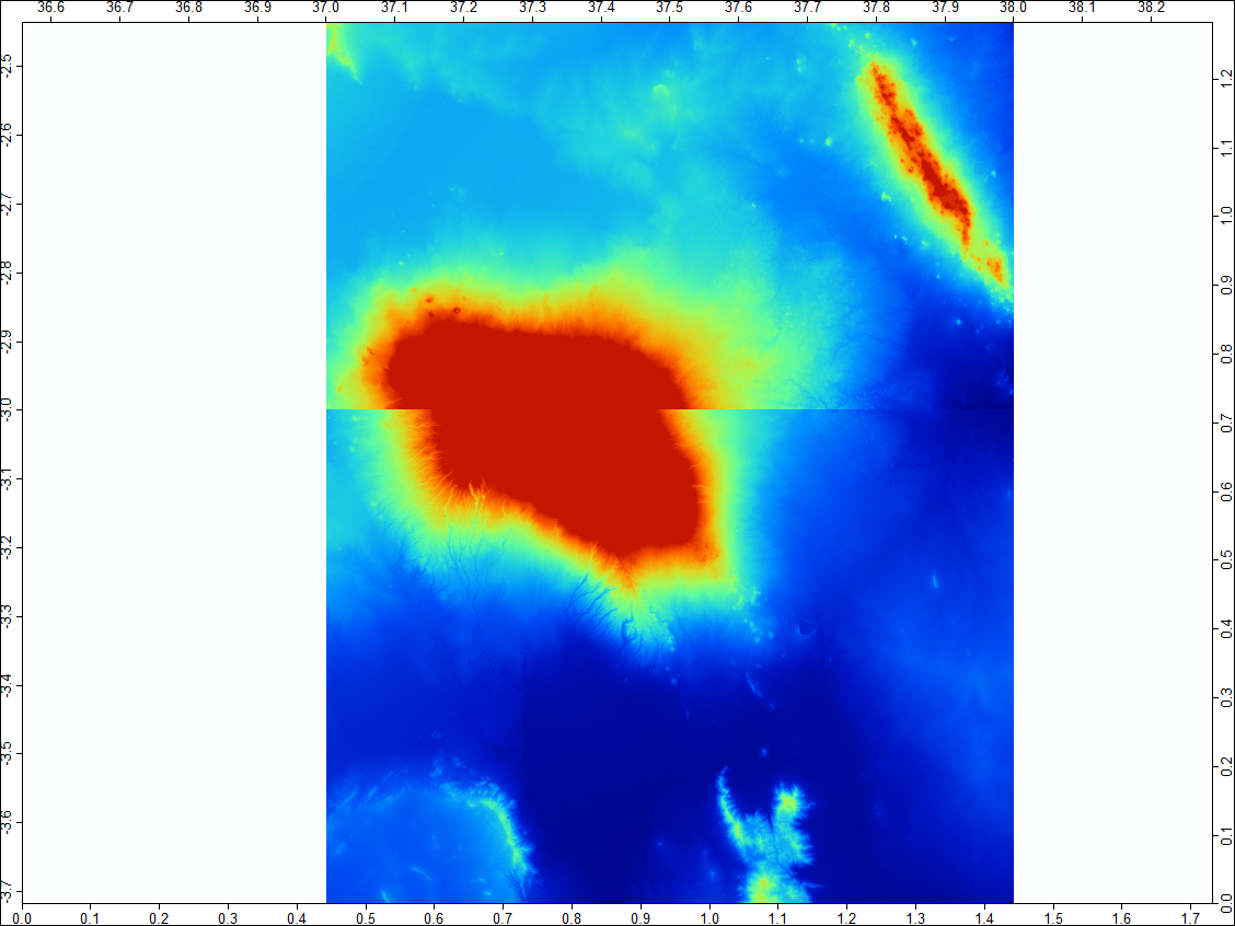
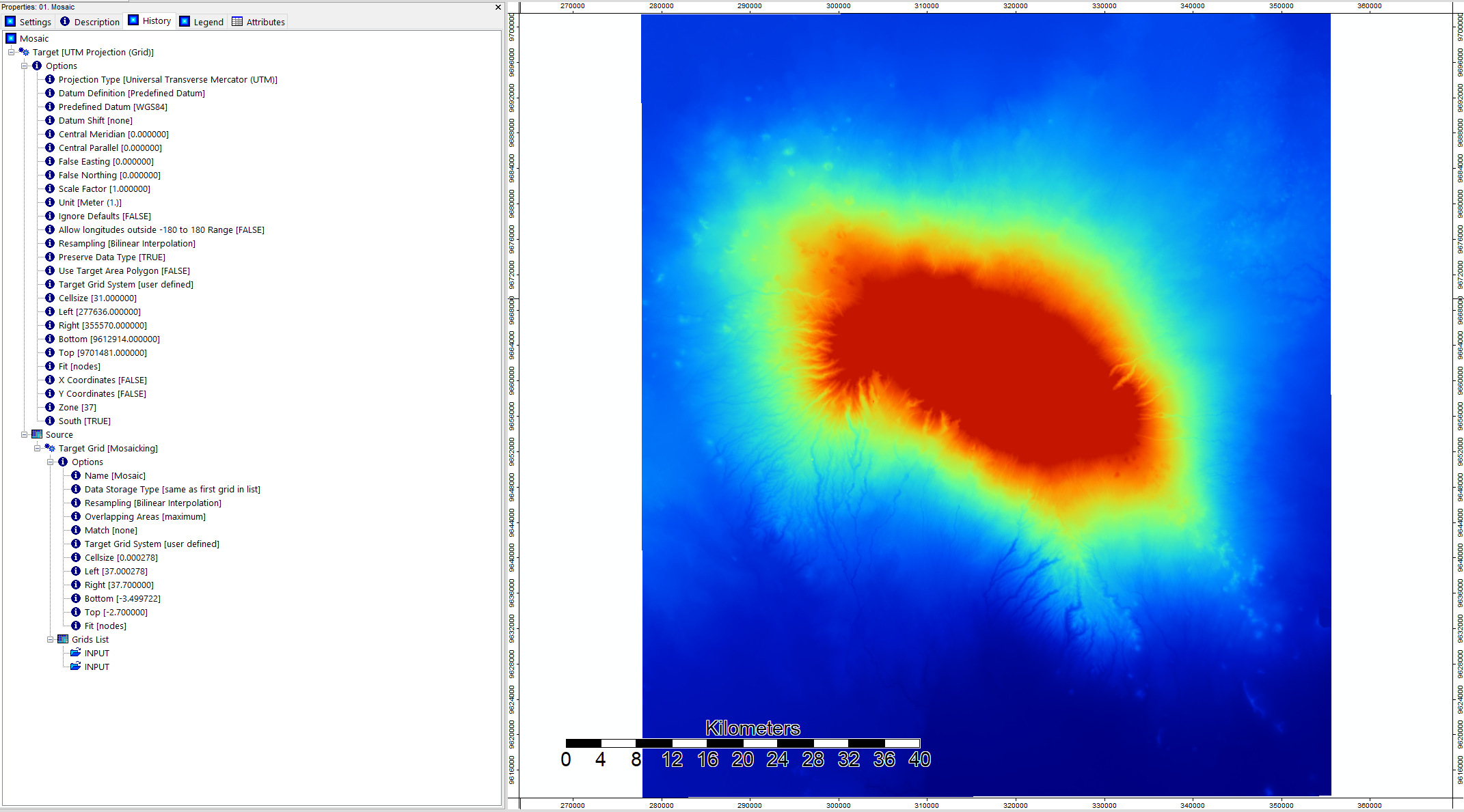
creating a mosaic using mosaicking tool and reprojecting in utm
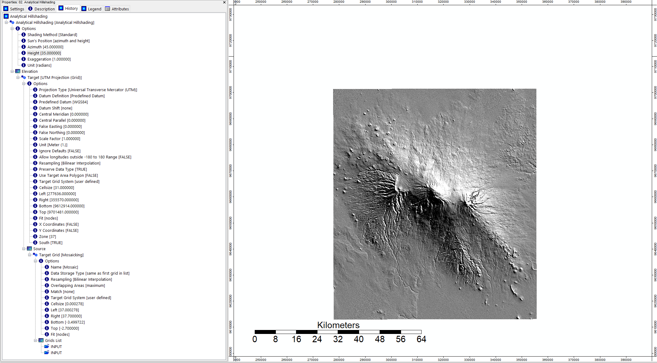
making a hillshade from mosaic for visualization
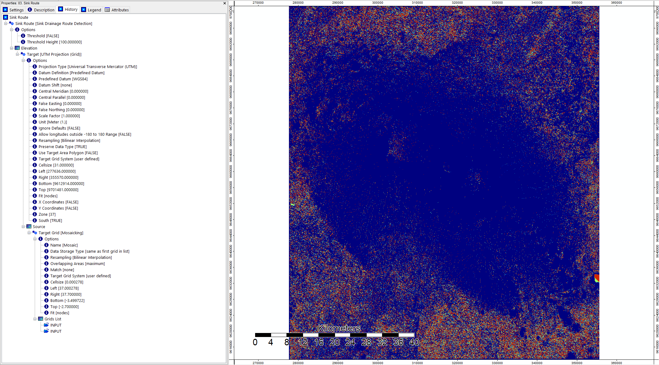
finding sink routes in mosaic using sink drainage route dectection tool
close-up image
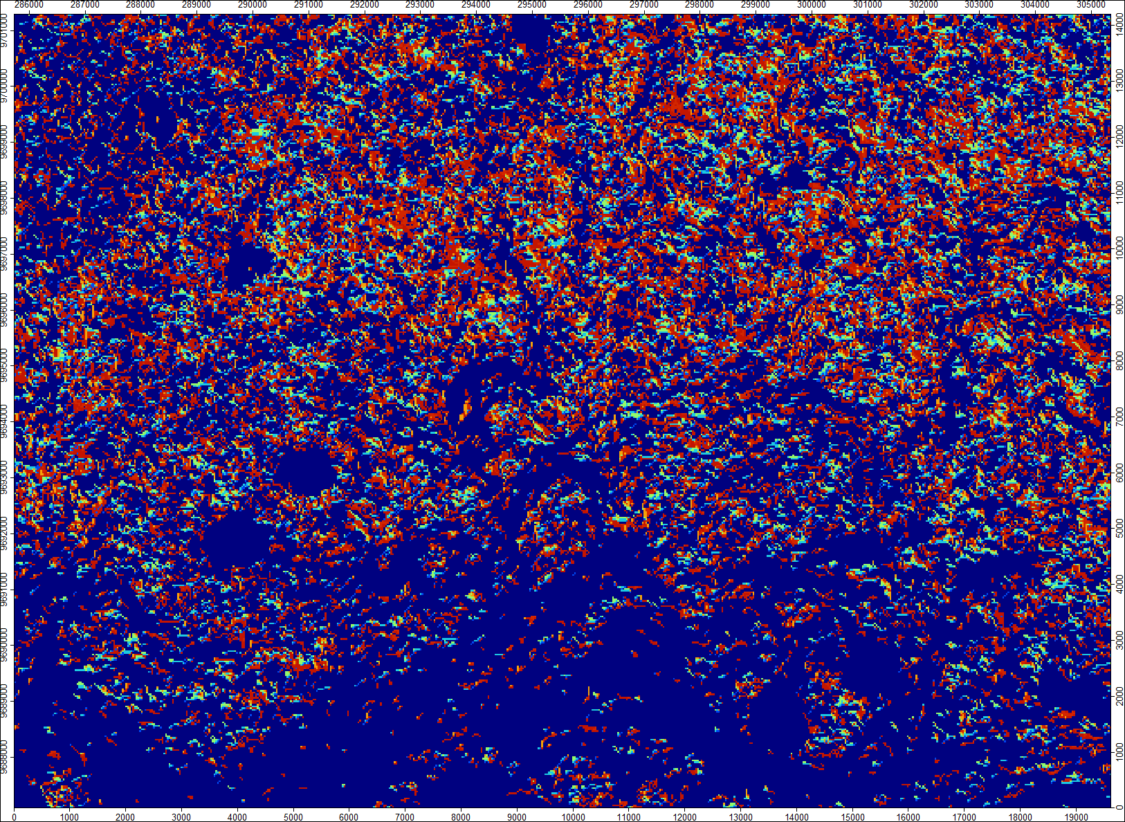
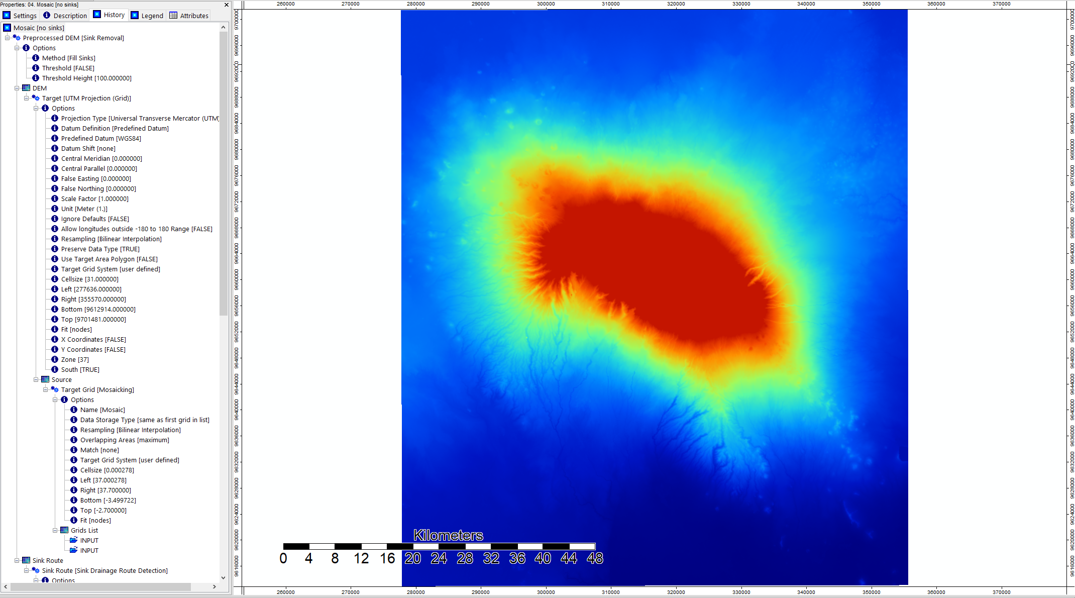
removing sinks from mosaic using sink removal tool
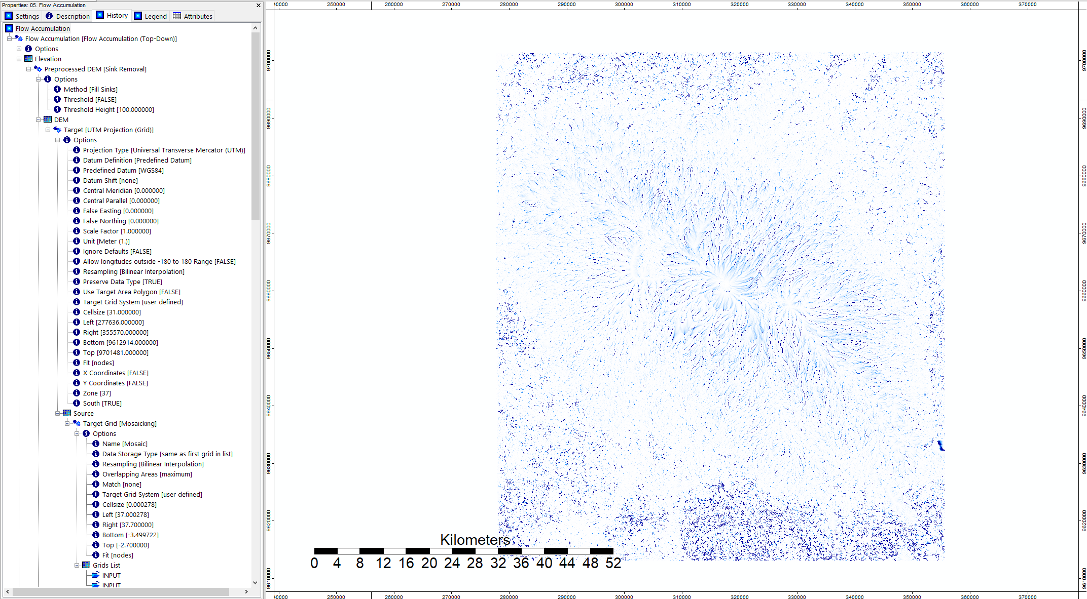
flow accumulation (top-down)
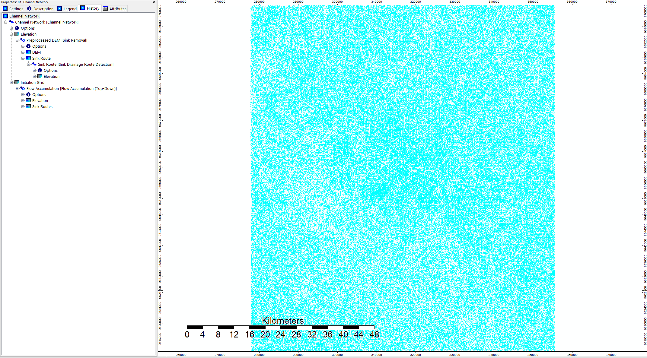
using flow accumulation to create a channel network
close-up of channel network in black
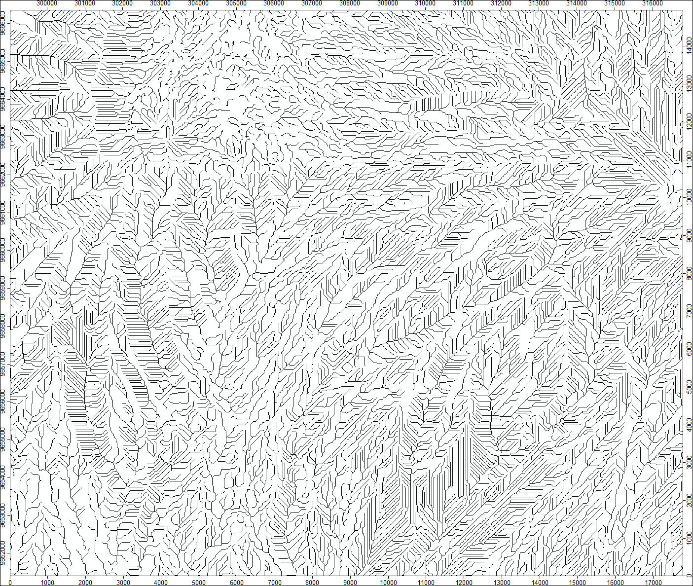
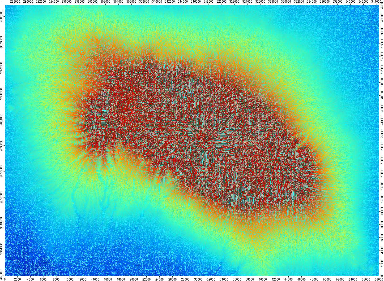
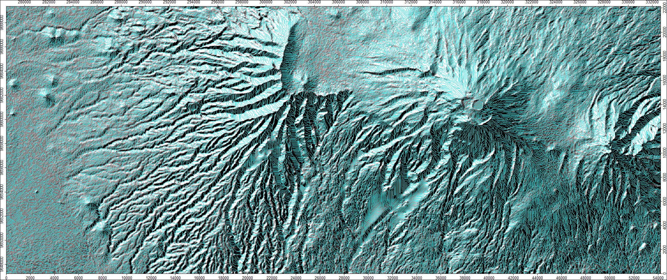
channel network overlaid on mosaic
hillshade and channel network
data source
NASA JPL. NASA Shuttle Radar Topography Mission Global 1 arc second. 2013, distributed by NASA EOSDIS Land Processes DAAC, https://doi.org/10.5067/MEaSUREs/SRTM/SRTMGL1.003
